


 UVT, catalizator al mișcării academice timișorene, își urmează calea spre cunoașterea aprofundată și trecerea către tehnologiile viitorului și ale noilor generațiiUniversitatea de Vest din Timișoara este astăzi cea mai dinamică instituție de învățământ superior din România, o universitate care se...


Articole etichetate cu Blominfo
- Sistem informatic geografic pentru managementul reţelelor de distribuţie apă
- Tehnologii de publicare web-gis pentru urbanism şi amenajarea teritoriului
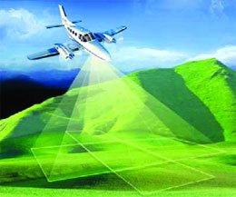
- Scanarea LiDAR în planificarea intervenţiei în situaţii de urgenţă
-
 Utilizarea Pictometriei în politica urbanistică a oraşelor
-
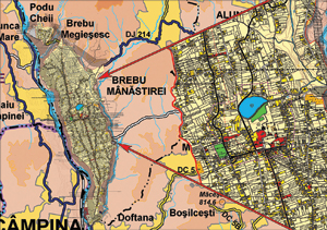 Utilizarea tehnologiilor GIS in realizarea hartilor fizice si admnistrative ale judetelor din Romania
-
 Model 3D al orasului, modelul viitorului
-
 Managementul inundaţiilor folosind tehnologia LiDAR
- Utilizarea platformelor GIS in urbanism
Piata ERP locala
SAP
proiect ChargeConnect
Nikon D7100
ASUS Transformer Book
lege securitate cibernetica
ITS
Mira Telecom
antreprenoriat
ehospitality
Geta Neg
Oficiul Ceh de Topografie
Dynamics Lead Referral
hub inovare digitala
Cisco Connect 2014
PAV
solutii de securitate
Conversie 2D in 3D
HTC One
protectia consumatorilor de produse si servicii financiare
